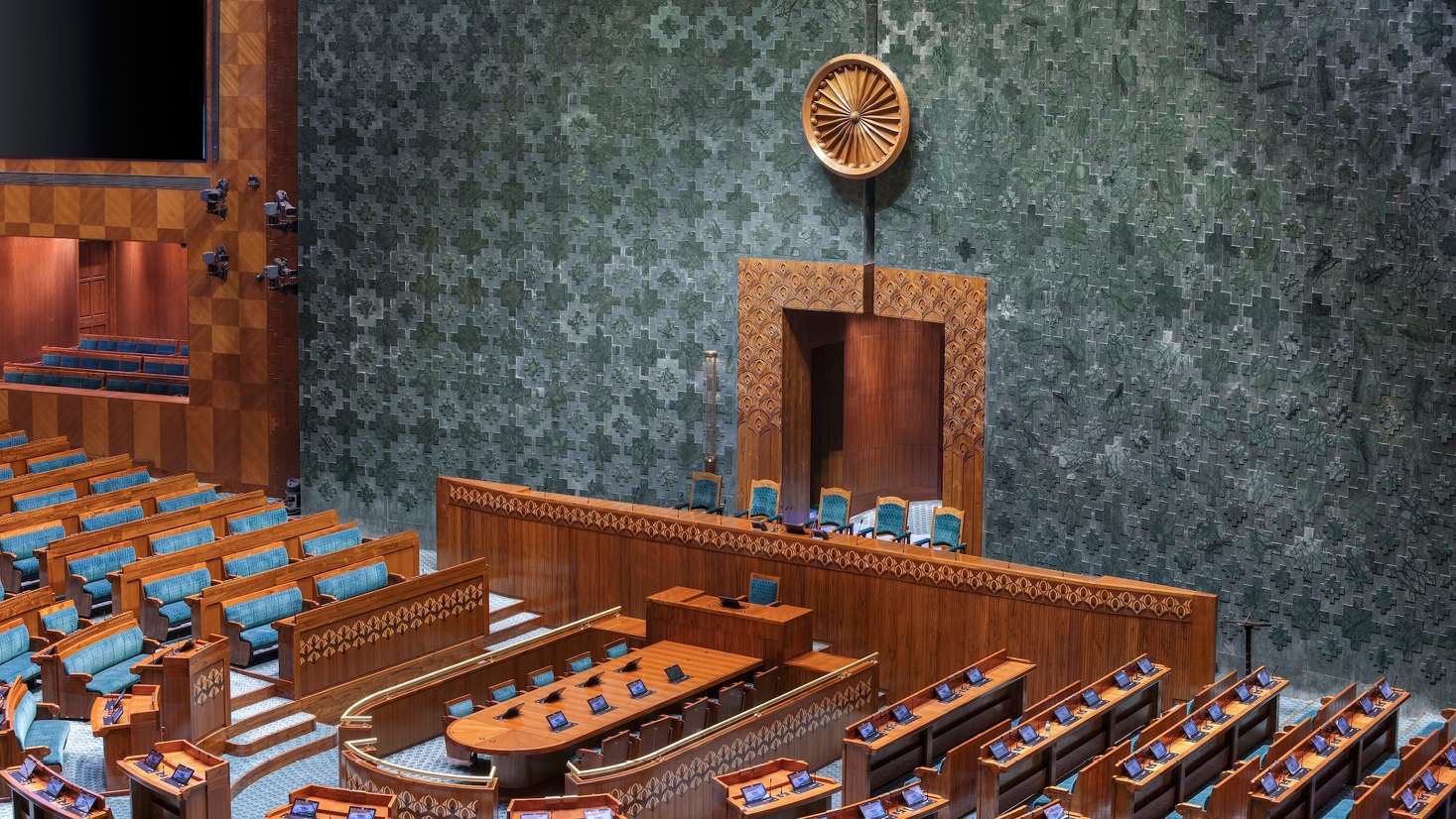
Lok Sabha, New Parliament of India
New Delhi, India
New Delhi, India
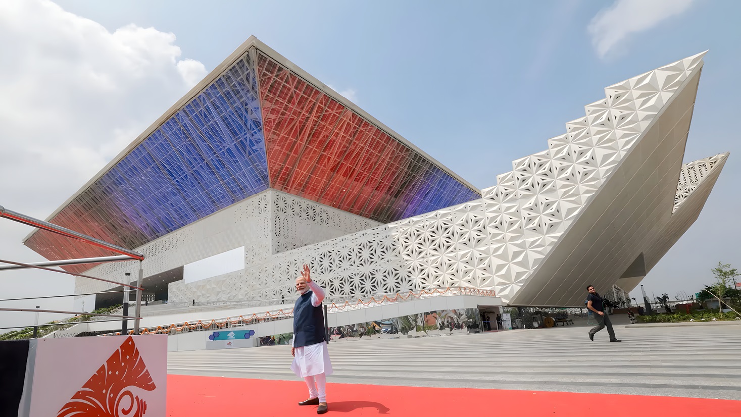
Bharat Mandapam - IECC Pragati Maidan
New Delhi, India
New Delhi, India
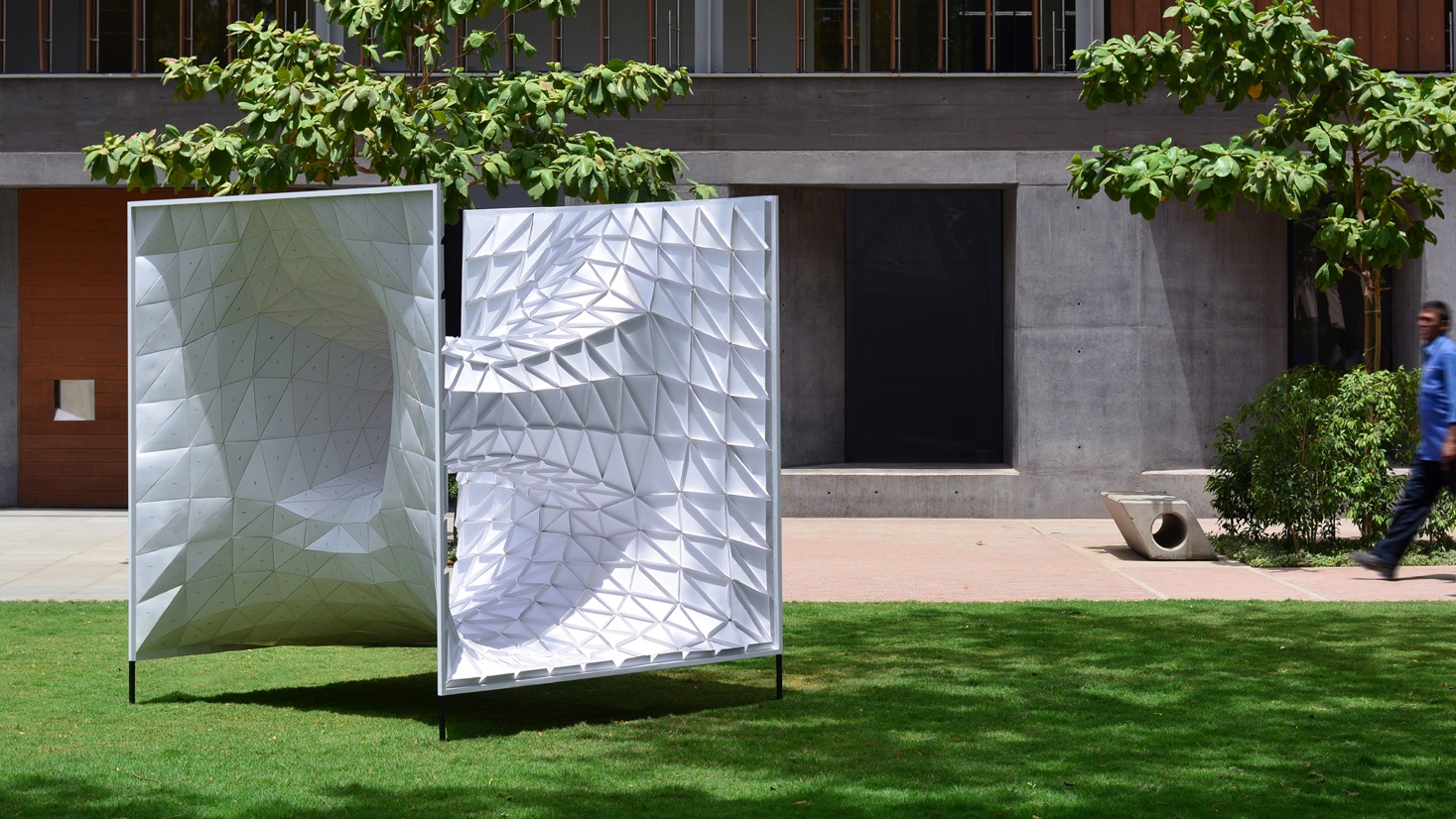
Wormhole Installation
Ahmedabad, India
Ahmedabad, India
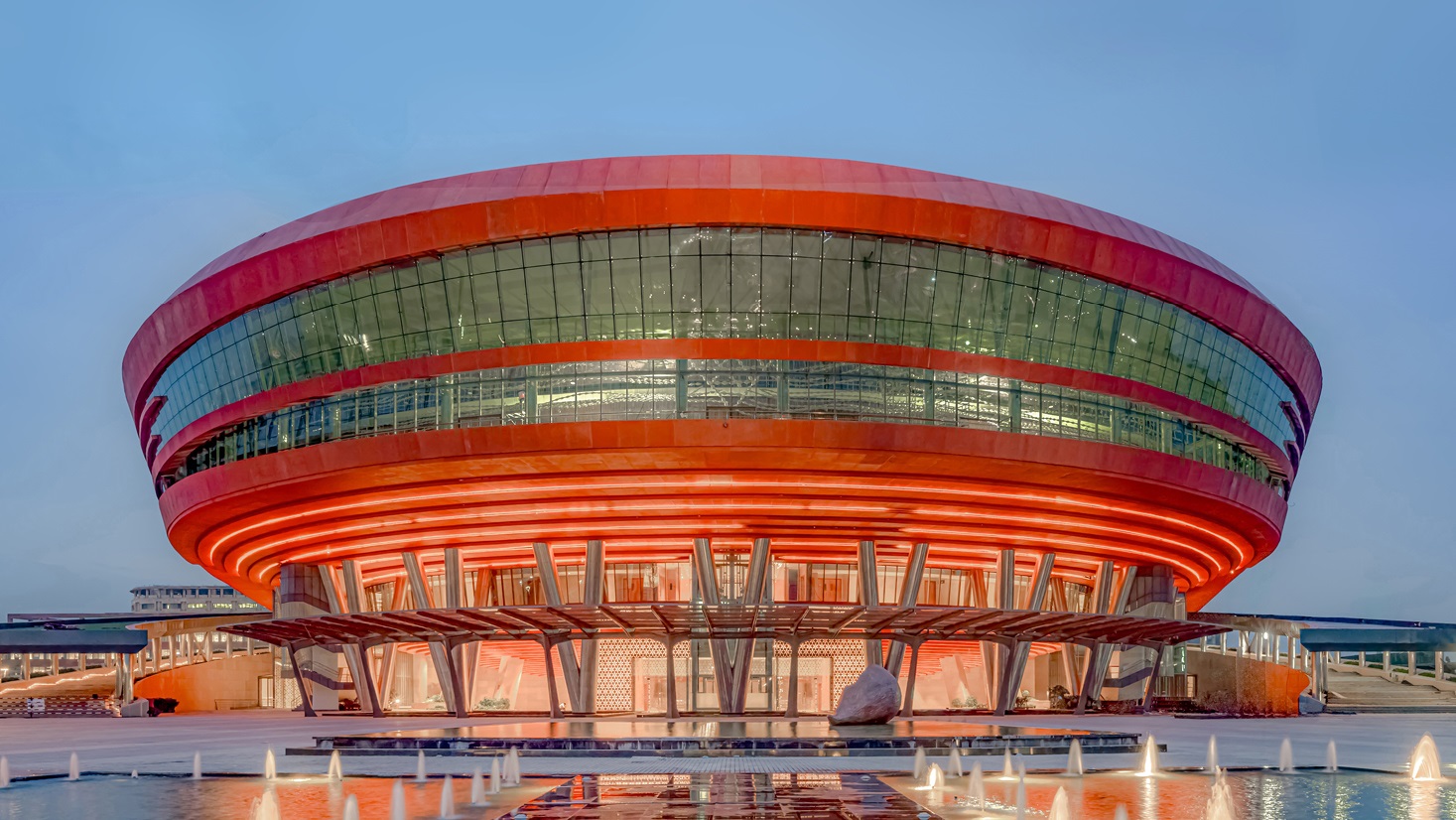
Yashobhoomi - IICC
New Delhi, India
New Delhi, India
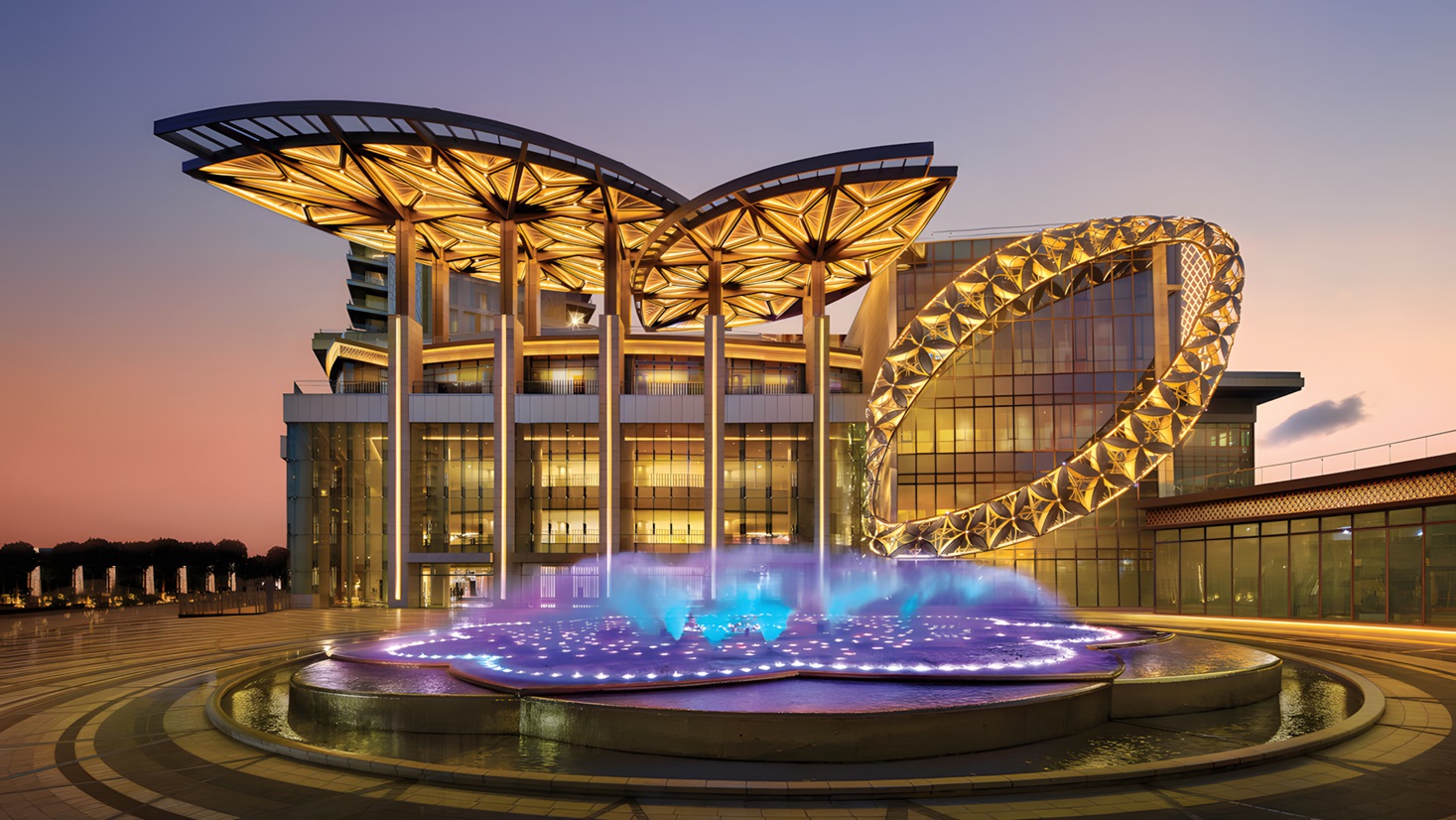
Jio World Centre at BKC
Mumbai, India
Mumbai, India
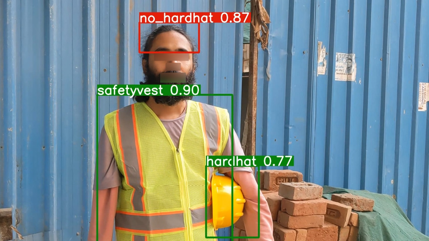
Site Safety AI
with Saikat Chakraborty
with Saikat Chakraborty
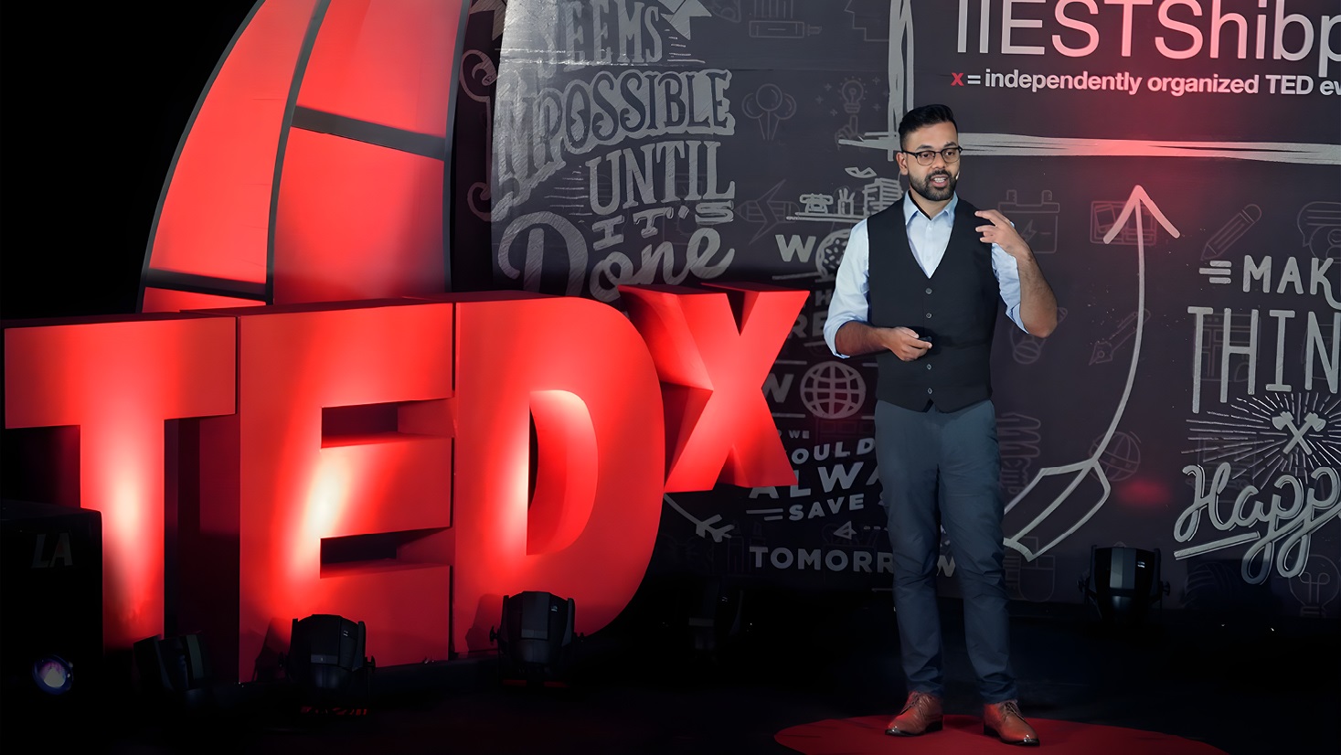
TEDx - Architecture for Everyone
Use of technology to automate residential design
Use of technology to automate residential design
1/7


